The essentials
- Tromsø harbour to Skjervøy and back, with the whale grounds in the Kvænangen fjords as the destination.[25]
- The season runs roughly from November through January, when orcas and humpbacks follow herring into the Tromsø and Skjervøy fjords.[25]
- The high-speed catamaran safari is listed as 8 hours, and the hybrid-electric boat as 9 hours.[26][27]
- Tours are listed from US$209 on the hybrid-electric boat and from US$391 for the 12-hour RIB from Tromsø.[27][28]
- Polar Night in Tromsø runs from November 27th to January 15th, and winter temperatures average around −4°C.[29][30]
- Top choice Catamaran Whale Safari from US$220 Duration8 hours[26]Rating4.61 from 3,768 reviews[26]GuideLive tour guide: English[26]PaymentReserve now & pay later[26] Check availability
- Skjervøy RIB Safari from US$251 Duration3 - 12 hours[31]Rating4.78 from 136 reviews[31]GuideLive tour guide: English[31]PaymentReserve now & pay later[31] See this tour
- Fast Comfortable Catamaran from US$210 Duration7.5 hours[32]Rating4.71 from 661 reviews[32]GuideLive tour guide: English[32]PaymentReserve now & pay later[32] See this tour
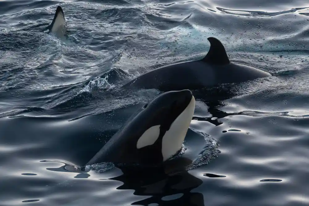
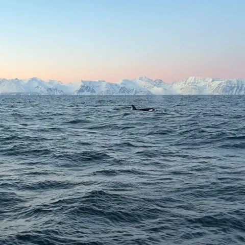
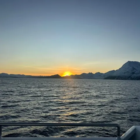
Approach whales slowly, at less than 5 knots when within 300m, and at constant speed, from the side and slightly to the rear.
Sail north to Skjervøy on the whale safari catamaran
Before you sail
- Aim for the whale season, roughly November to January[25]
- Book ahead for peak winter dates, especially around the Christmas holidays
- Check the listing for accessibility details before you book
- Prices on the booking pages are listed in US dollars
On the water
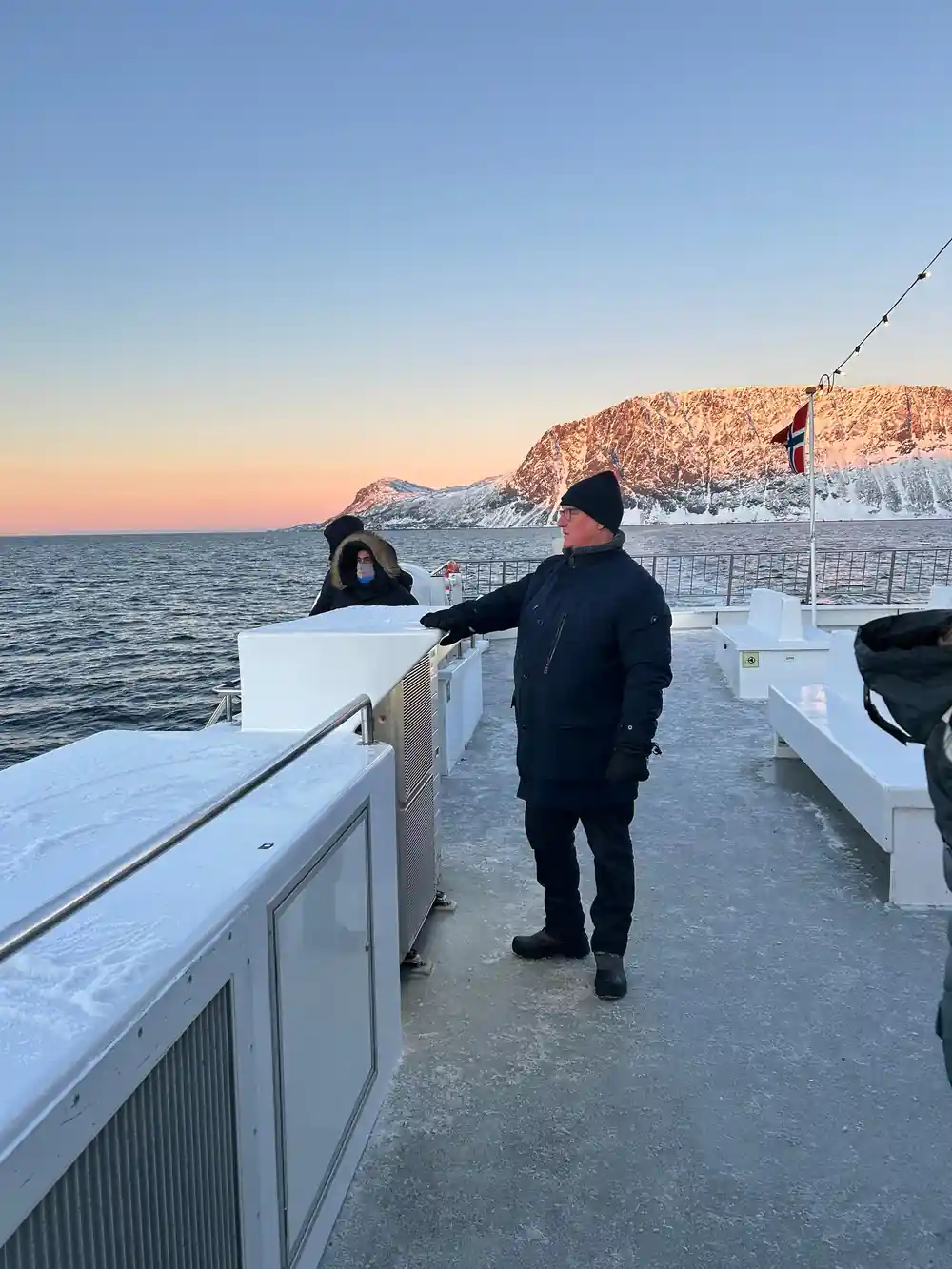
- Layers, a windproof shell, hat and gloves for time on the open deck
- Expect a real drop in temperature once the boat clears the harbour
- Bring a camera for the blue hour and any aurora on the way home
- Keep your voice low near whales and stay behind the rail
The Sail North from Tromsø to Skjervøy
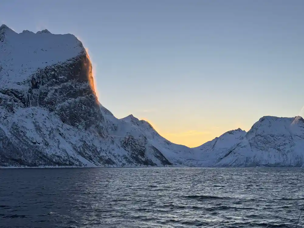
The catamaran leaves Tromsø in the dark and slips out through the sound while the city lights shrink behind the stern. Ahead the fjord opens, the water turns black and glassy, and a pale line of dawn appears behind the mountain ridge. The whale safari on the high-speed catamaran is listed as 8 hours, running from Tromsø to Skjervøy and back.[26] On deck you feel the scale of it: cold air, low cloud, snow dusted rock on both sides, and nothing but water ahead for the first hour or so.
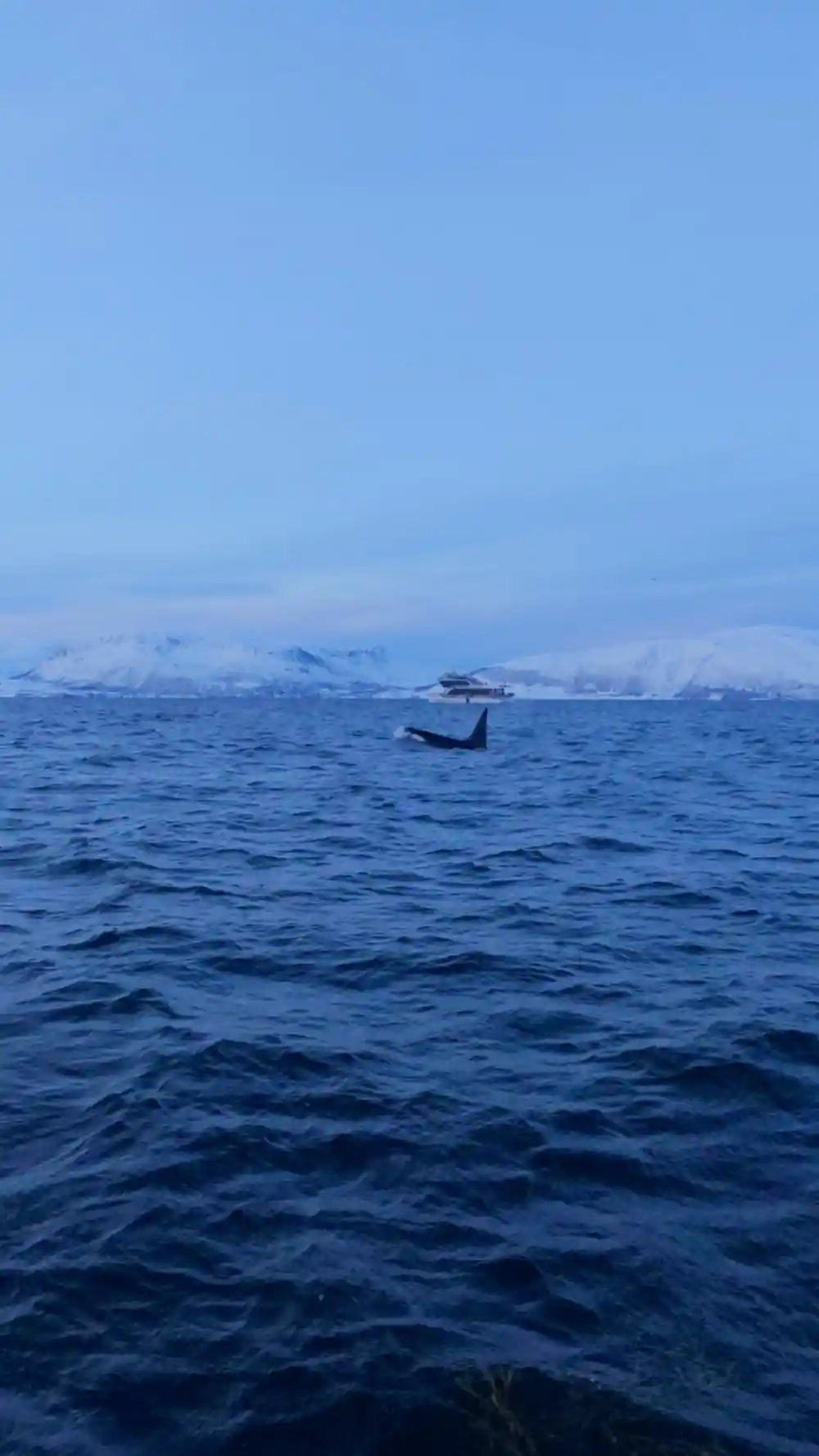
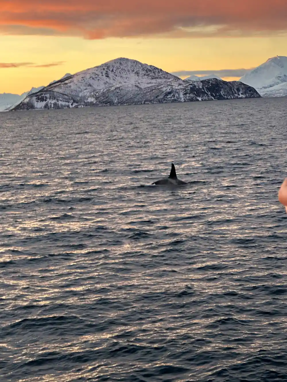
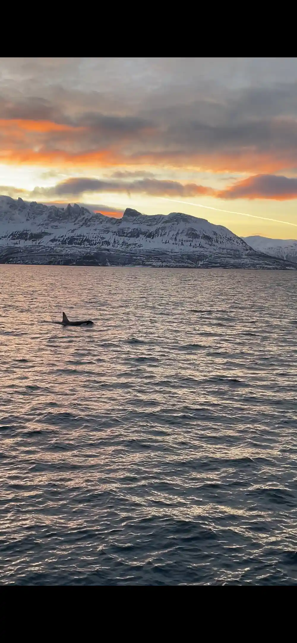
Skjervøy is where the boats head, and the whales are the reason. Since around 2017, whales near Tromsø have usually gathered in the Kvænangen fjords near Skjervøy rather than the waters closer to Tromsø.[25] The season runs roughly from November through January, when orcas and humpbacks follow herring into the Tromsø and Skjervøy fjords.[25] It is the migration of Norwegian spring-spawning herring that draws killer whales into these northern waters each winter.[33]
Departure times vary by season, so check availability for starting times when you book.[26] The first hour is a good time to be on deck, watching the city lights fall away and the fjord open up. Eat before you go, bring water and a snack, and keep your outermost layer within reach; the temperature on deck is nothing like the temperature on a sheltered street in town.
Mountain Walls and Fjord Passages
Once past the last of the city, the coast closes in. Steep walls drop straight into the sea, waterfalls hang in thin white lines, and small beaches of grey stone appear where the water shallows between headlands. Snow sits on the shoulders of the mountains and the light shifts every few minutes, so the same wall can look silver, then blue, then almost black within an hour. On a clear day the Lyngen Alps stand along the eastern side of the route, high and bright and unmistakably alpine.
Boats take different lines through the same water. One hybrid-electric boat lists its day as Tromsø, the Lyngen Alps, the lighthouse at Lyngstuva, Kagsundet, Skjervøy and the Arctic Cathedral on the way back.[27] The high-speed catamaran lists the catamaran, Skjervøy and the catamaran again.[26] Whichever listing you book, expect long fjord stretches with mountains on both sides and open water in between.
Sea state matters as much as distance on this coast. The inside route is mostly sheltered, but the open stretches between islands can turn choppy when the wind picks up, and a catamaran handles that far better than a small open boat. If you are prone to seasickness, take whatever works for you well before you step aboard, and spend the first hour on deck in the fresh air rather than in a warm cabin below.
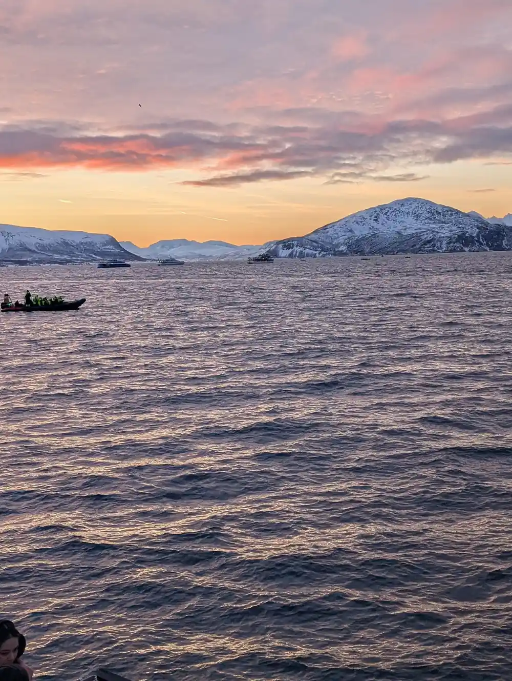
Fjord water, mountain walls and a long northern horizon on the way to Skjervøy.
Polar Twilight and the Blue Hour
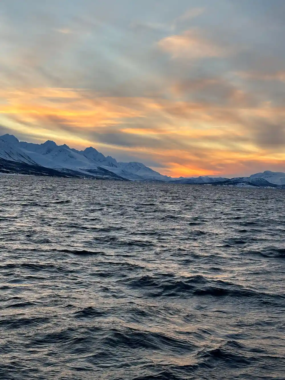
From late November the sun drops below the horizon and does not properly climb back for weeks. The Polar Night Season in Tromsø begins on November 27th and lasts until January 15th.[29] Winter temperatures average around −4°C, cold enough that the air feels dry and snow squeaks underfoot.[30] Daylight, when it comes, is a long soft sunrise that turns into a long soft sunset without much in between, and that is the light most whale watching photographs are taken in.
The blue hour is the photographer's friend up here. It lasts a long time, the light is even, and there is no glare off the water to blow out a picture. Bring a camera that copes with low light if you have one, and keep the lens inside your jacket between shots so it does not fog when you bring it out. A spare battery kept warm in an inside pocket, and a simple waterproof cover, will save a lot of frustration.
Northern Lights Over Winter Water
If the sky clears, the run home can turn into an aurora watch. A northern lights cruise and a whale safari share the same dark, quiet hours on the water, and some operators combine them into one long trip. One premium option puts 24 hours of northern lights and whale watching into a single listing, from US$681, rated 4.90 from 47 reviews.[34] That listing covers both the night sky and the fjord in one booking.
Aurora is never guaranteed, and nobody can promise it. What you can do is watch the forecast, pick a clear night, get away from the street lights and give it time. On the water the horizon is wide and unobstructed, which helps when a display is low in the sky. Let your eyes adjust away from your phone screen, look north, and wait for a faint grey-green band to turn into something with shape and movement.
from US$220
From US$220, the high-speed catamaran safari runs from Tromsø to Skjervøy and back, with a live English-speaking guide.[26]
Fishing Villages and Coastal Life at Skjervøy
Skjervøy is a working fishing town on an island in the north of Troms, with a harbour full of small boats, wooden houses in strong colours, and drying racks that appear along the quays in winter. Snow sits on the roofs, gulls work the harbour wall, and there is usually a shop or a cafe within a short walk of the landing. The catamaran safari calls at Skjervøy in the middle of its day.[26]
Some travellers arrive from the other direction. A Tromsø Skjervøy RIB whale watching tour is listed from US$338 and runs 12 hours, with bus or coach travel on either side of the boat trip.[35] The RIB safari at Skjervøy itself is limited to 12 participants and is listed from US$251.[31] RIB passengers are given full-length flotation suits, often called drysuits or immersion suits, to wear over their own clothing.[36]
The town also makes a good anchor for a longer stay if you would rather be close to the whale grounds than travel up and back in a day. There are departures that begin at Skjervøy itself, including one listing that runs 3 hours from US$325 and skips the transfer from Tromsø altogether.[37] Small boats leave the harbour and stay out on the fjord for the best part of a morning.
Sámi Culture Along the Northern Coast
The north of Norway is Sámi homeland as much as it is Norwegian coast, and the two histories are woven together along this shoreline. Coastal Sámi families fished and farmed here long before the towns grew, while reindeer herding families moved with the herds across the inland plateaus. Place names, joik singing and the bright ribbon work on traditional clothing are part of a living culture rather than a museum display, and you will meet it in ordinary places, not only on tours.
If you want to meet Sámi culture rather than only read about it, look for guided visits, museums and craftspeople in and around Tromsø, and always ask before you photograph people, their homes or their animals. Buying directly from Sámi makers, whether it is a knife, a bracelet or a piece of duodji, keeps the money in the community. Learn a word of greeting, listen more than you talk, and treat the coast as somebody's home.
Old Sea Routes and Arctic Navigation
This stretch of coast has been a highway for centuries. Fishing boats, trading vessels and the coastal steamer all followed the same sheltered inside route, hopping between islands to stay out of the open sea, and the Arctic route from Tromsø north to Skjervøy is the modern version of it. Many of the small quays and jetties you pass are still in use, and the harbour at Skjervøy has been a stopping point for boats working the herring for a very long time.
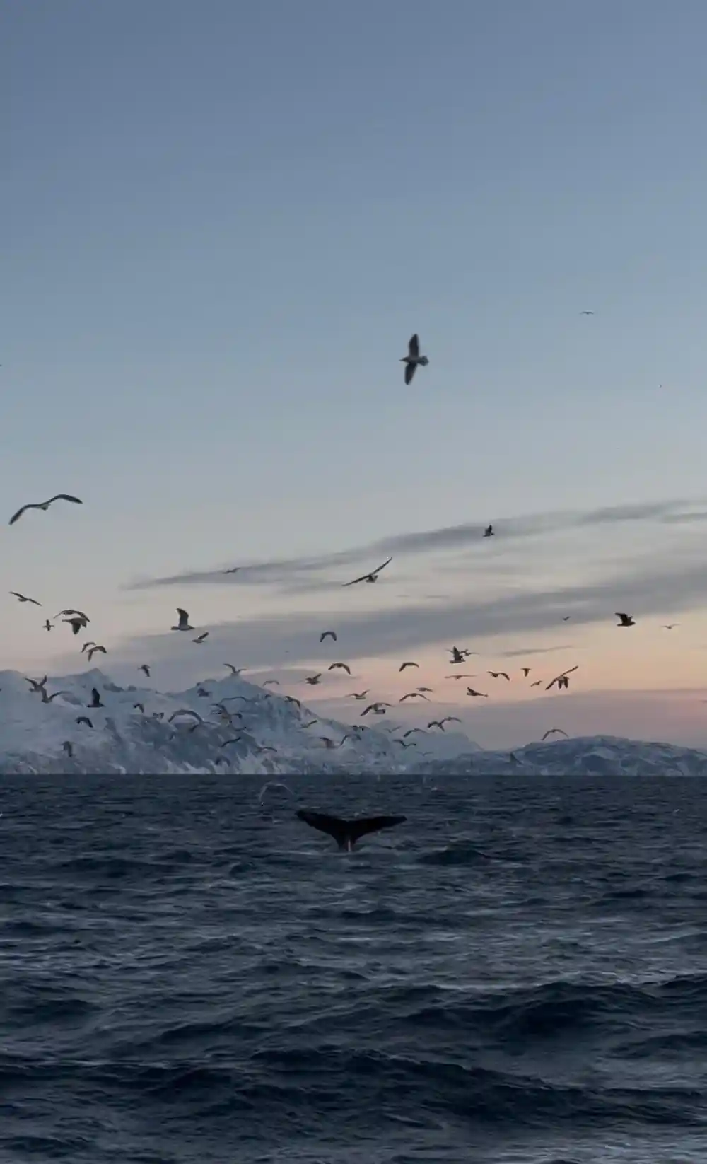
Finding whales is skilled work. Crews watch for birds flying overhead where humpback whales push herring to the surface, and they use modern technology such as radar and sonar to detect large obstacles in open water.[38] Guidelines for the Tromsø area ask boats to approach whales slowly, at less than 5 knots when within 300m, at constant speed, from the side and slightly to the rear.[39] Some vessels go further still, and one hybrid-electric ship is designed to operate silently in electric mode to keep disturbance to a minimum.[38]
From-prices for whale watching tours from Tromsø
From-prices in US dollars as listed on GetYourGuide for these tours:[26][27][31][32][40]
Compare from-prices for the sail north
From-prices in US dollars as listed for these tours:[26][27][31][40]
When to sail north to Skjervøy
How to plan the sail north
Book the catamaran safari
Reserve a seat on the high-speed catamaran, which runs from Tromsø to Skjervøy and back in a single day.[26]
Pick your dates
Whale season runs roughly from November through January.[25] Aim for those months if whales are the priority.
Pack layers, not luggage
Winter air, sea spray and a cold wind on deck make a warm hat, gloves and a waterproof shell worth their weight in gold.
Watch the water
Scan for blows, backs and bird flocks. Crews use the same signs, plus radar and sonar, to find whales.[38]
Keep the evening free
A long day at sea in winter light is tiring, so plan nothing demanding for the hours after you step back onto the quay.
Sail north to Skjervøy on the high-speed catamaran
from US$220Reserve now & pay later