Key takeaways
- A 1930 northern paper records that the Russians demanded tax as far south as Lyngstuva while the Swedes took it south of Tysfjorden, so that three different crowns claimed one coast.
- A 1934 account records that Finnmark as far south as Lyngstuva was reckoned a Russian tributary land, and that Vardohus fortress was built around the thirteen hundreds.
- A 1929 paper puts the boundary of the old Halogaland at Malangen and at a headland on Arnoya, another island this safari sails past.
- Sami families summered on Arnoya and wintered on the heights of Kautokeino near the Finnish and Swedish borders, and Kautokeino herders still summered with reindeer on Uloya in the 1930s.
The cape on your right
Somewhere on the run north from Tromso the boat rounds Lyngstuva, the blunt northern end of the Lyngen peninsula, where the Lyngen fjord opens to the sea. On a clear day it is one of the best sights of the trip, a wall of Alps ending abruptly in water.
It is also a line. For several centuries, and by more than one reckoning, it was where one country stopped and another started, and the countries did not agree with each other about it.
Three crowns, one coast
In July 1930 Ofotens Tidende laid the arrangement out plainly. There had been three different crowns on this coast, it wrote: the Russians demanded tax as far south as Lyngstuva, and the Swedes south of Tysfjorden. [1]
That is not a disputed frontier in the modern sense, with a line on a map and a customs post. It is overlapping taxation. The same families, in the same fjords, were on more than one crown's books at once, and each crown sent someone to collect.
In August 1934 Nordlandsposten described the same reckoning from the Russian side: Finnmark as far south as Lyngstuva was counted a Russian tributary land, and around the thirteen hundreds Vardohus fortress was built, which held the north through dark centuries afterwards. [2]
A fortress at the far north-east corner and a tax boundary at this cape are the same fact seen from two ends. Somebody had decided this headland mattered.
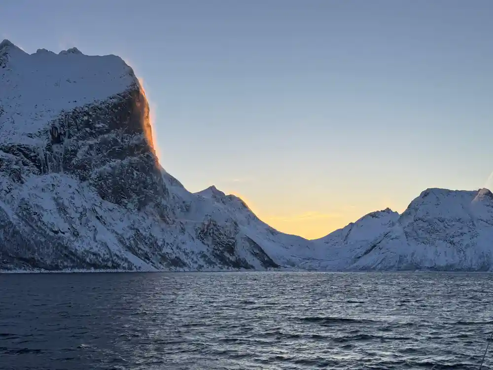
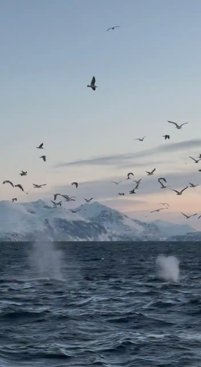
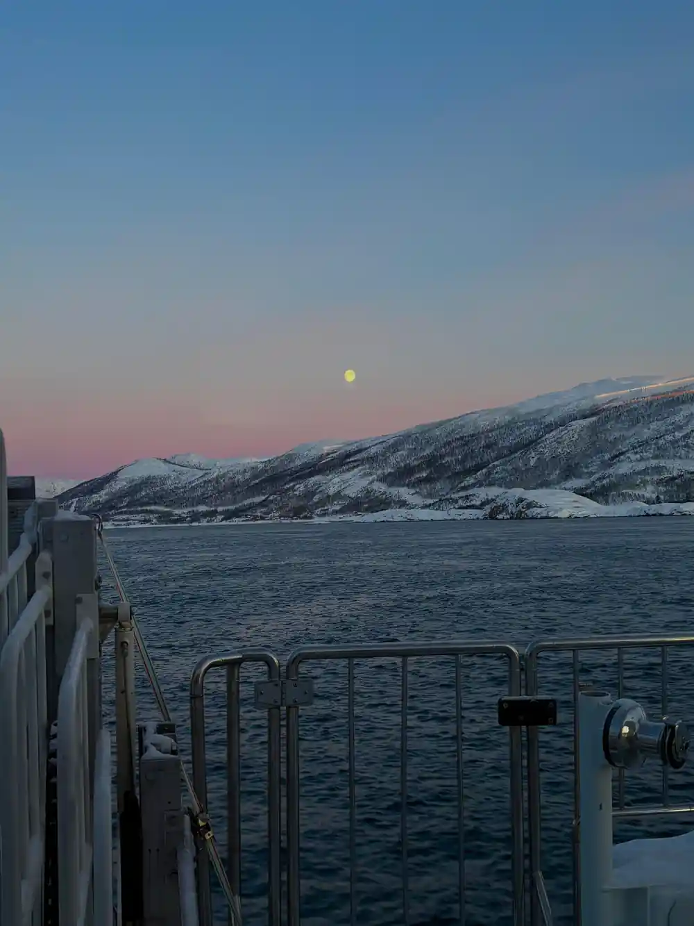
The northern end of the Lyngen peninsula from the sea: a wall of Alps ending in open water, and for several centuries the southern limit of what Russia taxed.
And an older border, a few miles further on
Lyngstuva is not the only line on this route. In January 1929 Ofoten Folkeblad recorded that the boundaries of the old Halogaland were Malangen and a headland on Arnoya. [3]
Arnoya is the large island the safari passes on the way to Skjervoy. Malangen is the fjord south of Tromso. Between those two points lay the northern edge of what the sagas counted as Norway proper, and everything beyond it was something else.
The archaeology is argued about in the same terms. A 1931 survey of northern Norway's settlement history notes that Senja, later Tromsoysund and possibly Karlsoy, was set as the boundary of ancient Norse settlement, and that the question has been debated ever since with varying results. [7] The same survey records a tenth-century oval brooch that came in 1918 from Sorstraumen in Kvaenangen [7], well north of every one of those proposed lines.
That is what makes the borders interesting rather than tidy. Objects keep turning up on the wrong side of them.
The people the lines were drawn across
Borders on this coast were administrative. The movement they were drawn across was seasonal, and it ran the other way.
In November 1929 Lofotposten described the pattern: the Sami now have their summer quarters on Arnoya, and in winter go to the heights of Kautokeino near the borders with Finland and Sweden. [5] Coast in summer, plateau in winter, across every one of those tax lines, twice a year.
It was still happening within living memory of anyone reading this. In August 1933 the paper Tromso reported conferences held with various Kautokeino Sami who in summer lie with their reindeer in Kafjord and on Uloya. [6] Uloya is in the mouth of the Lyngen fjord, a few miles from the cape.
And the county description of 1874 notes the plain economic reason the coast was worth reaching: the town of Tromso is near at hand, and the Sami have the best market there for their products. [8] Whatever the crowns thought they were taxing, the traffic was going where the buyers were.
What the cape is like when it is not a border
One last entry, and it is the reason none of this is romantic. In October 1933 Harstad Tidende reported from Tromso that a fisherman from Birtavarre had died on a hunting trip in the Lyngen mountains, by Lyngstuva, and had probably slipped. [4]
The Lyngen Alps rise straight out of the sea here, which is exactly what makes the view from a boat so good and the ground above it so unforgiving. You will see the whole wall of them from the water, in the safest possible way to look at it.
Watch for the point where the mountains stop and the open sea begins. That corner is the one three kingdoms spent centuries arguing over, and nothing on it says so.
The lines, as they were recorded
1300s: a fortress in the north-east
Finnmark as far south as Lyngstuva is reckoned Russian tributary land, and Vardohus is built. [2]
The old Halogaland
Its boundaries are given as Malangen and a headland on Arnoya. [3]
1918: a brooch out of place
A tenth-century oval brooch comes from Sorstraumen in Kvaenangen, north of every proposed settlement line. [7]
1874: where the market was
The Sami have their best market at Tromso, which is near at hand. [8]
1929: summer coast, winter plateau
Sami summer on Arnoya and winter on the heights of Kautokeino by the Finnish and Swedish borders. [5]
1930: three crowns
The Russians tax as far south as Lyngstuva and the Swedes south of Tysfjorden. [1]
1931: where did Norse settlement stop
Senja, then Tromsoysund, possibly Karlsoy, and the question is still open. [7]
1933: reindeer on Uloya
Kautokeino herders still summer with their reindeer in Kafjord and on Uloya. [6]
1933: the mountains take one
A fisherman from Birtavarre dies hunting in the Lyngen mountains by Lyngstuva. [4]